


Pasture Path
Farm records and a farm-gate shop
Farmers map their fields on satellite imagery, plan grazing, keep harvest and field records, and sell straight to people nearby from their own farm page.
About Pasture Path
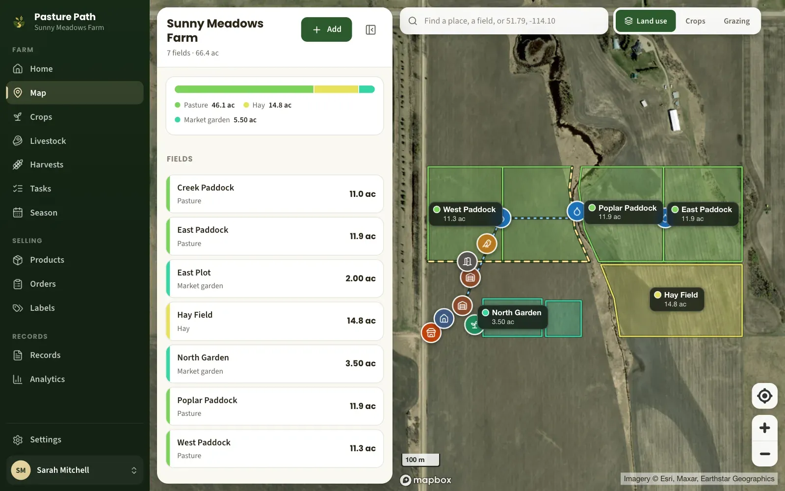
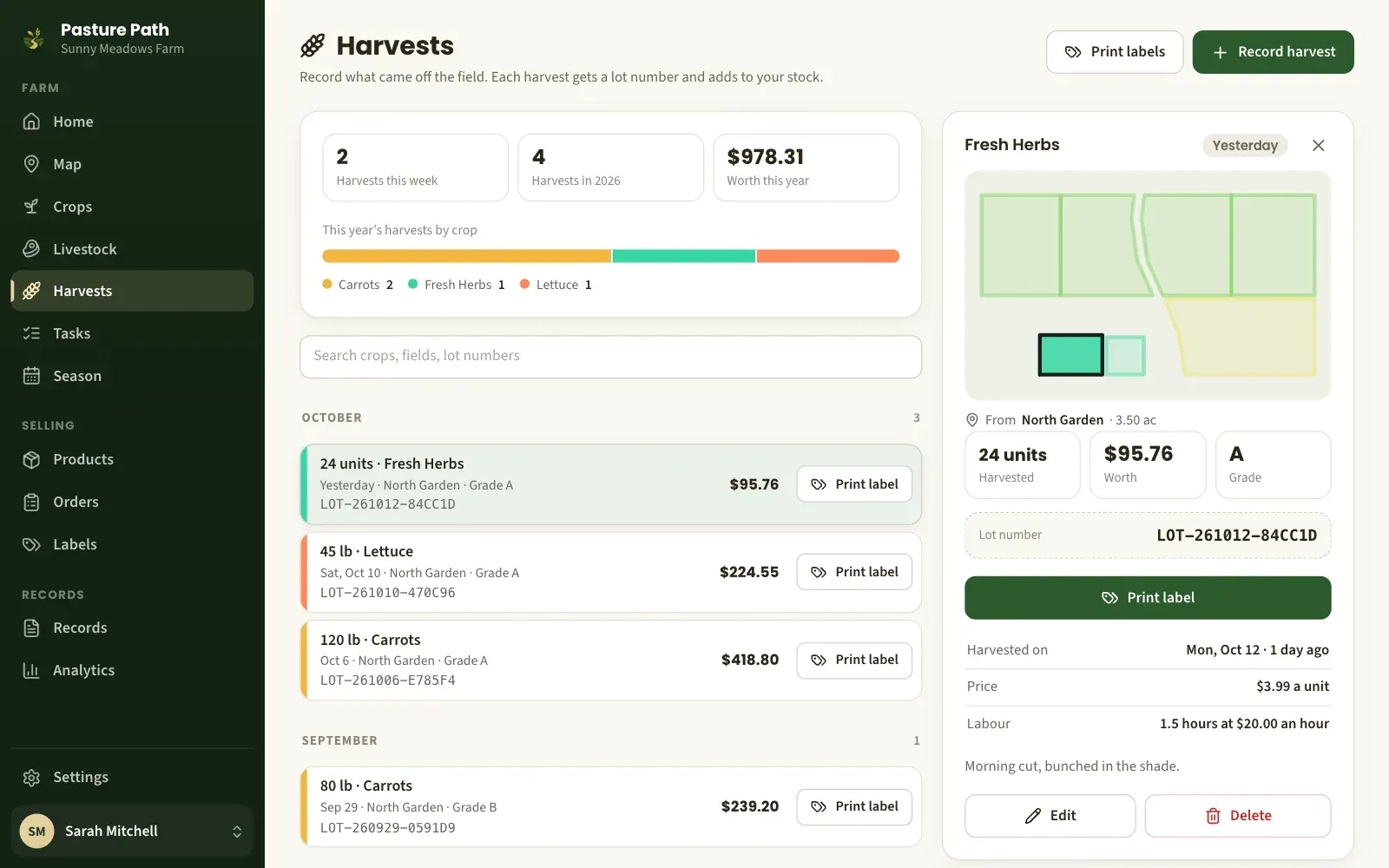
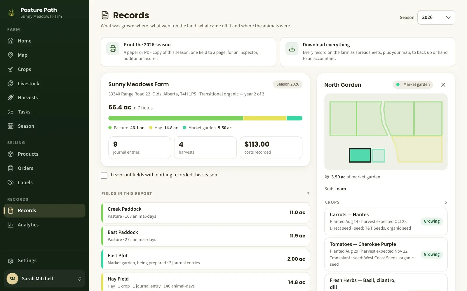
Pasture Path puts the farm on a map: fields and paddocks drawn on satellite imagery, grazing moves, crops, harvest lots with printed labels, and a season of records ready to print for an inspector.
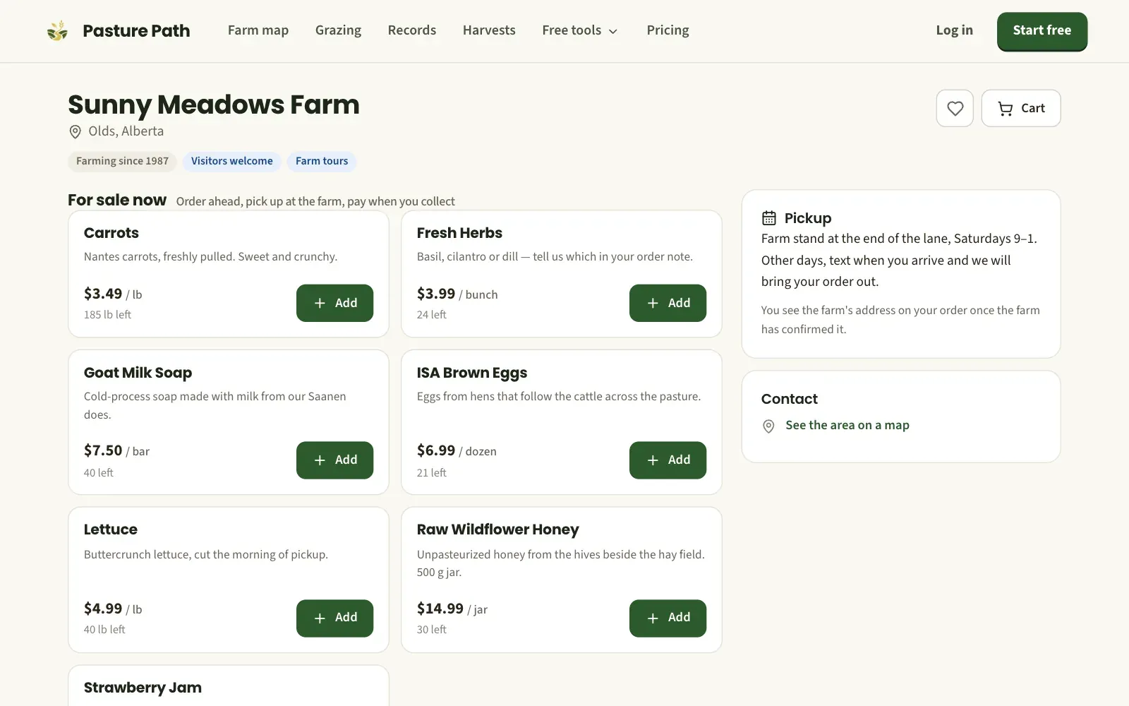
The same account runs a farm-gate shop. Customers nearby order from the farm’s own page and pick up at the farm, and the farmer confirms and tracks each order in the app.
Screenshots
The services behind it
More of our work
 PlantSyncHouseplants with personalities
 InventylCamera-first inventory for small business
 CrosslingSoftware for running a plant breeding program
 CRISPRgardenCRISPR guide design for plant genomes
 PlettoColouring and drawing for ages 2 to 6
 Ironwood HoldA fantasy tower defense with a voiced campaign
 Spectra StrikeA neon top-down arena shooter